South African and International Fine and Decorative Art
Online-Only Auction, 14 October - 15 November 2013
Strauss Online 1
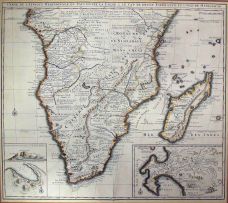
Lot Estimate
ZAR 2 000 - 3 000
About this Item
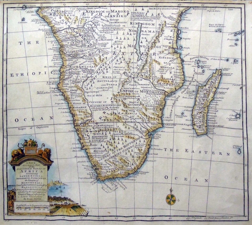
Bowen, Emanuel
A NEW & ACCURATE MAP OF THE SOUTHERN PARTS OF AFRICA, CONTAINING LOWER GUINEA, MONOEMUGI, ZANGUEBAR, AND EMPIRE OF MONOMOTAPA, COUNTY OF THE CAFRES &C. AND THE ISLD. OF MADAGASCAR. London, 1747 first edition
Depicts Southern Africa with reliefs shown pictorially. Includes geographic and ethnographic notes and an ornamental cartouche depicting lions, fruit, a farmstead with labourers and a bay.
37 by 45cm excluding frame; 61 by 67,5 by 2cm including frame
Other lots that might interest you
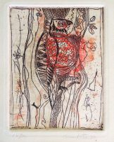
Bird of Prey
ZAR 300 - 500
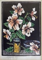
Still Life with Hibiscus
ZAR 1 500 - 2 000
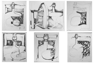
Still Life with Vessels, a set of six
ZAR 5 000 - 7 000
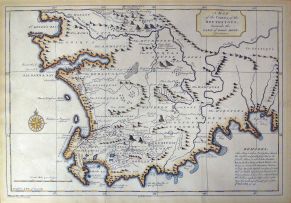
After Kolben, Peter
A MAP OF THE COUNTRY OF THE HOTTENTOTS, TOWARDS THE CAPE OF GOOD HOPE. Netherlands, circa 1750 first edition
ZAR 1 000 - 1 500
Nicolas Janz Visscher II
CARTE DE L'AFRIQUE MERIDIONALE. Amsterdam, 1730 first edition
ZAR 4 000 - 6 000
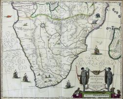
Blaeu, Joan
The hand coloured map bears a large title piece with a cartouche of native huntsmen, monkeys and tortoises. Depicts Southern Africa from the Cape of Good Hope to the Congo on the left and Mozambique on the right. Hand coloured. Sources: Grooten Atlas Volume 8, first edition and Norwich-Stone, Maps of Africa, pages 174/175, map No. 154
ZAR 2 500 - 3 500